

Product Details
- Product Number
- 893839
- Scale
- 1:100,000
- Version Date
- 01/01/1986
- Media
- Paper
- Format
- Flat
- Digital Reproduction
- Yes
Additional Details
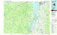
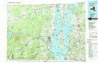
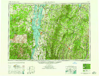
- Description
- LAKE CHAMPLAIN SOUTH, NY-VT HISTORICAL MAP GEOPDF 30X60 GRID 100000-SCALE 1986
- Survey Date
- 1986
- Print Date
- 1986
- Boundary Type
- Quadrangle
- Pieces
- 1
Related Items
LAKE CHAMPLAIN NORTH, NY-VT HISTORICAL MAP GEOPDF 30X60 GRID 100000-SCALE 1986
LAKE CHAMPLAIN, NY-VT-NH HISTORICAL MAP GEOPDF 1X2 GRID 250000-SCALE 1958

LAKE CHAMPLAIN, NY-VT-NH HISTORICAL MAP GEOPDF 1X2 GRID 250000-SCALE 1950