
- Added BOLTON MOUNTAIN, VT HISTORICAL MAP GEOPD to cart. View cart.
- Added EDGEWOOD, NM to cart. View cart.
- Added ASHEBORO, NC to cart. View cart.
- Added DENTON EAST, TX to cart. View cart.
- Added CORBIN, KY-TN HISTORICAL MAP GEOPDF 30X6 to cart. View cart.
- Added TETILLA PEAK, NM to cart. View cart.
- Added SILOAM SPRINGS, AR-OK to cart. View cart.
- Added BASCOM, FL-GA HISTORICAL MAP GEOPDF 7.5X to cart. View cart.
- Added POCONO PINES, PA to cart. View cart.
- Added POLARIS, MT HISTORICAL MAP GEOPDF 15X15 to cart. View cart.

Product Details
- Product Number
- 882885
- Scale
- 1:62,500
- Version Date
- 01/01/1959
- Regions
- MT
- Countries
- USA
- Media
- Paper
- Format
- Flat
- Digital Reproduction
- Yes
Additional Details
- Description
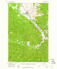
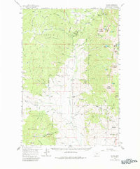
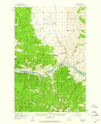
- PLAINS, MT HISTORICAL MAP GEOPDF 15X15 GRID 62500-SCALE 1959
- Survey Date
- 1959
- Print Date
- 1961
- Boundary Type
- Quadrangle
- Pieces
- 1
Related Items
POLARIS, MT HISTORICAL MAP GEOPDF 15X15 GRID 62500-SCALE 1959

PERMA, MT HISTORICAL MAP GEOPDF 15X15 GRID 62500-SCALE 1959