- Added SLACK MOUNTAIN, ID HISTORICAL MAP GEOPDF to cart. View cart.
- Added REDFORD, TX to cart. View cart.
- Added TARPON BAY, FL to cart. View cart.
- Added HART, TX to cart. View cart.
- Added DRAKE, CO to cart. View cart.
- Added SOUTH BUTTE, AZ to cart. View cart.
- Added EAST TIMBERLAKE CREEK, CO to cart. View cart.
- Added REDFORD SE, TX to cart. View cart.
- Added INFERNO CONE, ID to cart. View cart.
- Added IRONTON, MI to cart. View cart.
- Added FAIRBURN NE, SD to cart. View cart.
- Added ALDER SPRINGS, CA to cart. View cart.
- Added HARTS LAKE, WA to cart. View cart.
- Added HOLDER CREEK, TX to cart. View cart.
- Added GEOLOGIC MAP OF LAPORTE QUADRANGLE, CO to cart. View cart.
- Added THORNFIELD, MO to cart. View cart.
- Added WAMIC, OR to cart. View cart.
- Added HANKS CREEK NE, NV to cart. View cart.
- Added WELCH EAST, TX to cart. View cart.
- Added FAIRBURN, SD to cart. View cart.
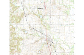
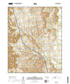
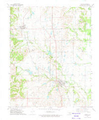
- Added RAMONA, OK to cart. View cart.


Product Details
- Product Number
- 87565
- Scale
- 1:24,000
- Alternate ID
- TOK0831
- ISBN
- 978-0-607-43574-0
- Version Date
- 01/01/1972
- Regions
- OK
- Countries
- USA
- Media
- Paper
- Format
- Flat
- Digital Reproduction
- Yes
Additional Details
- Description
- RAMONA, OK HISTORICAL MAP GEOPDF 7.5X7.5 GRID 24000-SCALE 1972
- Survey Date
- 1972
- Print Date
- 1974
- Height In Inches
- 27.300
- Length In Inches
- 22.400
- Boundary Type
- Quadrangle
- Two Sided
- No
- Pieces
- 1
- Languages
- English
Related Items
RAMONA, OK HISTORICAL MAP GEOPDF 7.5X7.5 GRID 24000-SCALE 1972