


Product Details
- Product Number
- 289642
- Scale
- 1:24,000
- Version Date
- 01/01/1951
- Regions
- MI
- Countries
- USA
- Media
- Paper
- Format
- Flat
Additional Details
- Description
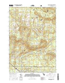
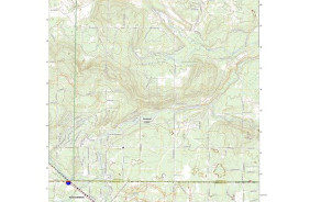
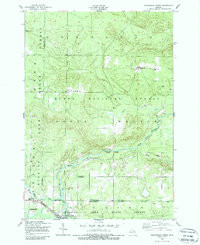
- ROSCOMMON NORTH, MI HISTORICAL MAP GEOPDF 7.5X7.5 GRID 24000-SCALE 1951
- Survey Date
- 1951
- Height In Inches
- 26.700
- Length In Inches
- 21.900
- Boundary Type
- Quadrangle
- Pieces
- 1
Related Items
ROSCOMMON NORTH, MI HISTORICAL MAP GEOPDF 7.5X7.5 GRID 24000-SCALE 1950