- Added SUPERIOR, NE-KS HISTORICAL MAP GEOPDF 30 to cart. View cart.
- Added PARADOX LAKE, NY to cart. View cart.
- Added JEFF, AL to cart. View cart.
- Added EAST HAMPTON, NY to cart. View cart.
- Added JONES, AL to cart. View cart.
- Added TRAPPER, CO HISTORICAL MAP GEOPDF 7.5X7. to cart. View cart.
- Added ROCHESTER, WA HISTORICAL MAP GEOPDF 7.5X to cart. View cart.
- Added LAKE BERRYESSA, CA HISTORICAL MAP GEOPDF to cart. View cart.
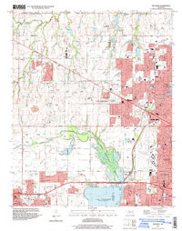
- Added BETHANY, OK to cart. View cart.


Product Details
- Product Number
- 300819
- Scale
- 1:24,000
- Version Date
- 01/01/1986
- Regions
- OK
- Countries
- USA
- Media
- Paper
- Format
- Flat
Additional Details
- Description
- BETHANY, OK HISTORICAL MAP GEOPDF 7.5X7.5 GRID 24000-SCALE 1986
- Survey Date
- 1966
- Print Date
- 1987
- Height In Inches
- 26.900
- Length In Inches
- 22.100
- Boundary Type
- Quadrangle
- Pieces
- 1
Related Items
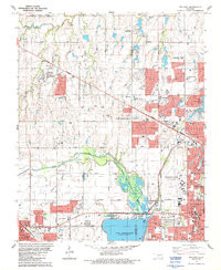
BETHANY, OK HISTORICAL MAP GEOPDF 7.5X7.5 GRID 24000-SCALE 1986