


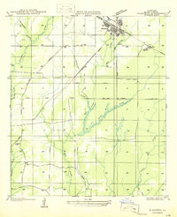
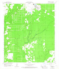
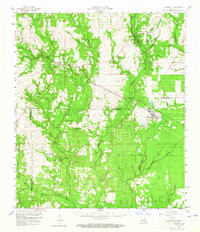
Product Details
- Product Number
- 325278
- Scale
- 1:24,000
- Version Date
- 01/01/1959
- Regions
- LA
- Countries
- USA
- Media
- Paper
- Format
- Flat
Additional Details
- Description
- ELIZABETH, LA HISTORICAL MAP GEOPDF 7.5X7.5 GRID 24000-SCALE 1959
- Survey Date
- 1947
- Print Date
- 1968
- Height In Inches
- 26.800
- Length In Inches
- 23.000
- Boundary Type
- Quadrangle
- Pieces
- 1
Related Items
ELIZABETH, LA HISTORICAL MAP GEOPDF 7.5X7.5 GRID 24000-SCALE 1959
ELIZABETH, LA HISTORICAL MAP GEOPDF 15X15 GRID 62500-SCALE 1959