
- Added MOREHEAD, KY HISTORICAL MAP GEOPDF 30X60 to cart. View cart.
- Added EWING, NM to cart. View cart.
- Added KNOXVILLE, TN to cart. View cart.
- Added EDMONDS WEST, WA to cart. View cart.
- Added OJO HEDIONDA, NM HISTORICAL MAP GEOPDF 7 to cart. View cart.
- Added DEVILS ARMCHAIR, NV to cart. View cart.
- Added CENTER, KY HISTORICAL MAP GEOPDF 7.5X7.5 to cart. View cart.


Product Details
- Product Number
- 265820
- Scale
- 1:24,000
- Version Date
- 01/01/1953
- Regions
- KY
- Countries
- USA
- Media
- Paper
- Format
- Flat
Additional Details
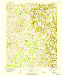
- Description
- CENTER, KY HISTORICAL MAP GEOPDF 7.5X7.5 GRID 24000-SCALE 1953
- Survey Date
- 1953
- Print Date
- 1955
- Height In Inches
- 27.400
- Length In Inches
- 22.500
- Boundary Type
- Quadrangle
- Pieces
- 1
Related Items
CENTER, KY HISTORICAL MAP GEOPDF 7.5X7.5 GRID 24000-SCALE 1953
