
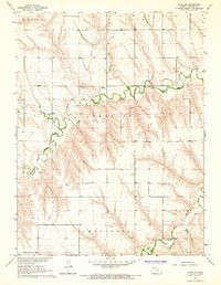

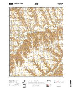
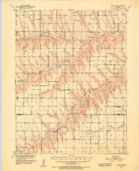
Product Details
- Product Number
- 861769
- Scale
- 1:24,000
- Version Date
- 01/01/1965
- Regions
- KS
- Countries
- USA
- Media
- Paper
- Format
- Flat
- Digital Reproduction
- Yes
Additional Details
- Description
- ACHILLES, KS HISTORICAL MAP GEOPDF 7.5X7.5 GRID 24000-SCALE 1965
- Survey Date
- 1965
- Print Date
- 1966
- Boundary Type
- Quadrangle
- Pieces
- 1
Related Items
ACHILLES, KS HISTORICAL MAP GEOPDF 15X15 GRID 62500-SCALE 1951