
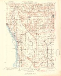

Product Details
- Product Number
- 858748
- Scale
- 1:62,500
- Version Date
- 01/01/1935
- Media
- Paper
- Format
- Flat
- Digital Reproduction
- Yes
Additional Details
- Description
- KEITHSBURG, IL-IA HISTORICAL MAP GEOPDF 15X15 GRID 62500-SCALE 1935
- Survey Date
- 1935
- Print Date
- 1954
- Boundary Type
- Quadrangle
- Pieces
- 1
Related Items
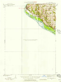
EAST DUBUQUE, IA-IL HISTORICAL MAP GEOPDF 15X15 GRID 62500-SCALE 1935
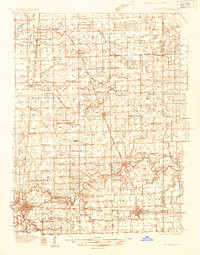
WATSEKA, IL-IN HISTORICAL MAP GEOPDF 15X15 GRID 48000-SCALE 1935
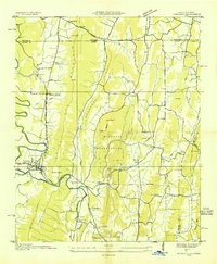
RINGGOLD, GA-TN HISTORICAL MAP GEOPDF 7.5X7.5 GRID 24000-SCALE 1935