- Added RUSSELLVILLE, AR HISTORICAL MAP GEOPDF 1 to cart. View cart.
- Added BLACKWATER RIVER, MD to cart. View cart.
- Added CLEVELAND, TN HISTORICAL MAP GEOPDF 30X3 to cart. View cart.
- Added TILTONSVILLE, OH-WV to cart. View cart.
- Added TERRELL WELLS, TX to cart. View cart.
- Added PINEVILLE, KY to cart. View cart.
- Added SALT LAKE CITY SOUTH, UT to cart. View cart.
- Added NOKOMIS, IL HISTORICAL MAP GEOPDF 7.5X7. to cart. View cart.


Product Details
- Product Number
- 302311
- Scale
- 1:24,000
- Version Date
- 01/01/1980
- Regions
- IL
- Countries
- USA
- Media
- Paper
- Format
- Flat
Additional Details
- Description
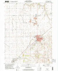
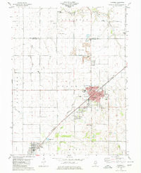
- NOKOMIS SW, IL HISTORICAL MAP GEOPDF 7.5X7.5 GRID 24000-SCALE 1980
- Survey Date
- 1980
- Print Date
- 1980
- Height In Inches
- 26.800
- Length In Inches
- 21.900
- Boundary Type
- Quadrangle
- Pieces
- 1
Related Items
NOKOMIS, IL HISTORICAL MAP GEOPDF 7.5X7.5 GRID 24000-SCALE 1980