- Added PLEASANTVILLE, IA to cart. View cart.
- Added AMERICAN FALLS SW, ID to cart. View cart.
- Added ROCK VALLEY, IA to cart. View cart.
- Added OTLEY, IA to cart. View cart.
- Added LAKE CITY, IA to cart. View cart.
- Added WARREN COUNTY, IA to cart. View cart.
- Added STORY COUNTY, IA to cart. View cart.
- Added NAUVOO, IL-IA to cart. View cart.
- Added ALLAMAKEE COUNTY, IA to cart. View cart.
- Added LEON, IA to cart. View cart.
- Added BLUE BUNCH MOUNTAIN, ID to cart. View cart.
- Added LANESBORO, IA HISTORICAL MAP GEOPDF 7.5X to cart. View cart.
- Added LE GRAND, IA to cart. View cart.
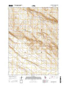
- Added BLACK BUTTE EAST, ID HISTORICAL MAP GEOP to cart. View cart.

Product Details
- Product Number
- 54286
- Scale
- 1:24,000
- Alternate ID
- TID0127
- ISBN
- 978-0-607-16946-1
- Version Date
- 01/01/1980
- Regions
- ID
- Countries
- USA
- Media
- Paper
- Format
- Flat
- Digital Reproduction
- Yes
Additional Details
- Description
- BLACK BUTTE EAST, ID HISTORICAL MAP GEOPDF 7.5X7.5 GRID 24000-SCALE 1980
- Survey Date
- 1980
- Print Date
- 1980
- Height In Inches
- 26.800
- Length In Inches
- 22.000
- Boundary Type
- Quadrangle
- Two Sided
- No
- Pieces
- 1
- Languages
- English
Related Items

BLACK BUTTE EAST, ID HISTORICAL MAP GEOPDF 7.5X7.5 GRID 24000-SCALE 1980