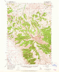

Product Details
- Product Number
- 856678
- Scale
- 1:62,500
- Version Date
- 01/01/1957
- Media
- Paper
- Format
- Flat
- Digital Reproduction
- Yes
Additional Details
- Description
- SCOTT PEAK, ID-MT HISTORICAL MAP GEOPDF 15X15 GRID 62500-SCALE 1957
- Survey Date
- 1957
- Print Date
- 1965
- Boundary Type
- Quadrangle
- Pieces
- 1
Related Items
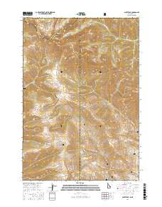
SCOTT PEAK, ID-MT HISTORICAL MAP GEOPDF 7.5X7.5 GRID 24000-SCALE 1987
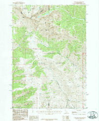
SIMMONS PEAK, ID-MT HISTORICAL MAP GEOPDF 15X15 GRID 62500-SCALE 1957