

Product Details
- Product Number
- 855033
- Scale
- 1:24,000
- Version Date
- 01/01/1997
- Media
- Paper
- Format
- Flat
- Digital Reproduction
- Yes
Additional Details
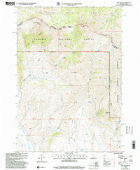
- Description
- EDIE CREEK, ID-MT HISTORICAL MAP GEOPDF 7.5X7.5 GRID 24000-SCALE 1997
- Survey Date
- 1997
- Print Date
- 2002
- Boundary Type
- Quadrangle
- Pieces
- 1
Related Items
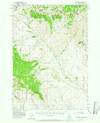
EDIE RANCH, ID-MT HISTORICAL MAP GEOPDF 15X15 GRID 62500-SCALE 1957

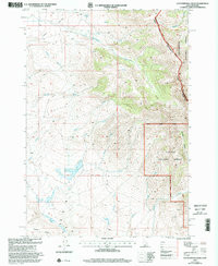
COTTONWOOD CREEK, ID-MT HISTORICAL MAP GEOPDF 7.5X7.5 GRID 24000-SCALE 1997