- Added WHITE HILLS EAST, AZ HISTORICAL MAP GEOP to cart. View cart.
- Added CHILLICOTHE EAST, OH to cart. View cart.
- Added BLANCO, TX to cart. View cart.
- Added SOUTHEAST MUSKOGEE, OK to cart. View cart.
- Added PORCUPINE RIDGE, UT-WY to cart. View cart.
- Added KANSAS CITY, MO-KS-NE to cart. View cart.
- Added CHEWELAH, WA HISTORICAL MAP GEOPDF 7.5X7 to cart. View cart.
- Added FAIRVIEW, CA to cart. View cart.
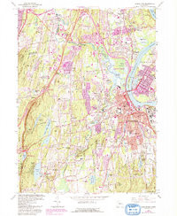
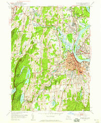
- Added MIDDLETOWN, CT HISTORICAL MAP GEOPDF 7.5 to cart. View cart.


Product Details
- Product Number
- 352146
- Scale
- 1:24,000
- Version Date
- 01/01/1952
- Regions
- CT
- Countries
- USA
- Media
- Paper
- Format
- Flat
Additional Details
- Description
- MIDDLETOWN, CT HISTORICAL MAP GEOPDF 7.5X7.5 GRID 24000-SCALE 1952
- Survey Date
- 1943
- Print Date
- 1959
- Height In Inches
- 26.900
- Length In Inches
- 22.000
- Boundary Type
- Quadrangle
- Pieces
- 1
Related Items
MIDDLETOWN, CT HISTORICAL MAP GEOPDF 7.5X7.5 GRID 24000-SCALE 1952