- Added ROSE RANCH, CO to cart. View cart.
- Added PLACERVILLE, CO HISTORICAL MAP GEOPDF 7. to cart. View cart.
- Added SOLOMON CREEK, WY to cart. View cart.
- Added POWDER WASH, CO to cart. View cart.
- Added POINT LOOKOUT, CO to cart. View cart.
- Added PRYOR, CO HISTORICAL MAP GEOPDF 7.5X7.5 to cart. View cart.
- Added SAGUACHE COUNTY SHEET 4, CO to cart. View cart.
- Added RUSH, CO HISTORICAL MAP GEOPDF 7.5X7.5 G to cart. View cart.
- Added POWDERHORN LAKES, CO to cart. View cart.
- Added RIO BLANCO, CO to cart. View cart.
- Added RIO BLANCO COUNTY SHEET 3, CO to cart. View cart.
- Added ROCK CANYON, CO HISTORICAL MAP GEOPDF 7. to cart. View cart.


Product Details
- Product Number
- 49129
- Scale
- 1:24,000
- Alternate ID
- TCO1641
- ISBN
- 978-0-607-12732-4
- Version Date
- 01/01/1972
- Regions
- CO
- Countries
- USA
- Media
- Paper
- Format
- Flat
- Digital Reproduction
- Yes
Additional Details
- Description
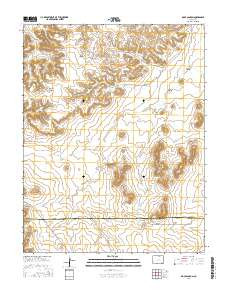
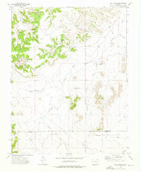
- ROCK CANYON, CO HISTORICAL MAP GEOPDF 7.5X7.5 GRID 24000-SCALE 1972
- Survey Date
- 1972
- Print Date
- 1976
- Height In Inches
- 27.000
- Length In Inches
- 21.750
- Boundary Type
- Quadrangle
- Two Sided
- No
- Pieces
- 1
- Languages
- English
Related Items
ROCK CANYON, CO HISTORICAL MAP GEOPDF 7.5X7.5 GRID 24000-SCALE 1972