
- Added WOODS CANYON, AZ to cart. View cart.
- Added CALHOUN NORTH, GA to cart. View cart.
- Added ELOY NORTH, AZ HISTORICAL MAP GEOPDF 7.5 to cart. View cart.
- Added PETROGLYPH WASH, AZ to cart. View cart.
- Added ELIZABETH CITY, NC to cart. View cart.
- Added FOUR CORNERS, WY to cart. View cart.
- Added WALKER BUTTE, AZ to cart. View cart.
- Added COALGATE SE, OK to cart. View cart.
- Added EAST PARK RESERVOIR, UT to cart. View cart.
- Added TEAPOT MOUNTAIN, AZ to cart. View cart.
- Added NEWPORT, WA-ID to cart. View cart.
- Added CASTLE ROCK, AZ-CA to cart. View cart.
- Added TULE TUBS, AZ to cart. View cart.
- Added ESTLER PEAK, AZ HISTORICAL MAP GEOPDF 7. to cart. View cart.

Product Details
- Product Number
- 835714
- Scale
- 1:24,000
- Version Date
- 01/01/1974
- Regions
- AZ
- Countries
- USA
- Media
- Paper
- Format
- Flat
- Digital Reproduction
- Yes
Additional Details
- Description
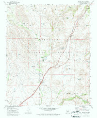
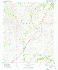
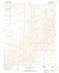
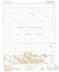
- ESTLER PEAK, AZ HISTORICAL MAP GEOPDF 7.5X7.5 GRID 24000-SCALE 1974
- Survey Date
- 1974
- Print Date
- 1987
- Boundary Type
- Quadrangle
- Pieces
- 1
Related Items
E C P PEAK, AZ HISTORICAL MAP GEOPDF 7.5X7.5 GRID 24000-SCALE 1967
EAST OF BUCK PEAK, AZ HISTORICAL MAP GEOPDF 7.5X7.5 GRID 24000-SCALE 1990