- Added KRIDER, NM HISTORICAL MAP GEOPDF 7.5X7.5 to cart. View cart.
- Added KIMBETO, NM to cart. View cart.
- Added KEMMERER RESERVOIR, WY to cart. View cart.
- Added FORT GARLAND, CO to cart. View cart.
- Added WILLOW SPRING CANYON, AZ HISTORICAL MAP to cart. View cart.
- Added CONNOR RIDGE, ID HISTORICAL MAP GEOPDF 7 to cart. View cart.
- Added BALDWINSVILLE, NY HISTORICAL MAP GEOPDF to cart. View cart.
- Added FOUR BAR J RANCH, WY to cart. View cart.
- Added COCHISE STRONGHOLD, AZ HISTORICAL MAP GE to cart. View cart.

Product Details
- Product Number
- 42385
- Scale
- 1:24,000
- Alternate ID
- TAZ1980
- ISBN
- 978-0-607-94370-2
- Version Date
- 01/01/1996
- Regions
- AZ
- Countries
- USA
- Media
- Paper
- Format
- Flat
- Digital Reproduction
- Yes
Additional Details
- Description
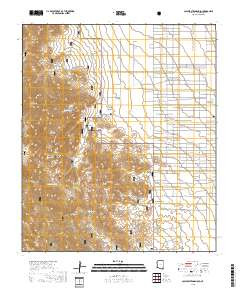
- COCHISE STRONGHOLD, AZ
- Survey Date
- 1996
- Print Date
- 1985
- Height In Inches
- 26.800
- Length In Inches
- 22.000
- Boundary Type
- Quadrangle
- Two Sided
- No
- Pieces
- 1
- Languages
- English
Related Items

COCHISE STRONGHOLD, AZ HISTORICAL MAP GEOPDF 7.5X7.5 GRID 24000-SCALE 1996