- Added BUNKER HILL, CA to cart. View cart.
- Added ROCKINSTRAW MOUNTAIN, AZ to cart. View cart.
- Added LIGHTHOUSE CANYON, UT to cart. View cart.
- Added DRAKE PEAK, OR to cart. View cart.
- Added BOZARTH MESA, AZ to cart. View cart.
- Added CHRISTIAN C-1, AK HISTORICAL MAP GEOPDF to cart. View cart.
- Added WILDCAT RANCH, AZ HISTORICAL MAP GEOPDF to cart. View cart.
- Added DRAKE PEAK NE, OR to cart. View cart.
- Added TATES BLUFF, AR to cart. View cart.
- Added PASADENA VALLEY, ID to cart. View cart.
- Added POCKET PRAIRIE, AR to cart. View cart.
- Added STINKING SPRINGS MOUNTAIN, AZ to cart. View cart.
- Added HIBERNIA PEAK, AZ to cart. View cart.
- Added GUNSIGHT CANYON, NM-TX to cart. View cart.
- Added HOPE, NM to cart. View cart.
- Added TREMONT, PA to cart. View cart.
- Added GARNER, AR to cart. View cart.
- Added BARTLETT, CA to cart. View cart.
- Added JOHNNY GEORGE MOUNTAIN, WA to cart. View cart.
- Added PABLO CANYON RANCH, NV to cart. View cart.
- Added MONOCLINE RIDGE, CA to cart. View cart.
- Added GILROY, CA to cart. View cart.
- Added SUN VALLEY, AZ HISTORICAL MAP GEOPDF 7.5 to cart. View cart.
- Added COLQUITT, GA HISTORICAL MAP GEOPDF 7.5X7 to cart. View cart.
- Added ADDITIONAL HILL, AZ HISTORICAL MAP GEOPD to cart. View cart.

Product Details
- Product Number
- 42501
- Scale
- 1:24,000
- Alternate ID
- TAZ2099
- ISBN
- 978-0-607-07622-6
- Version Date
- 01/01/1989
- Regions
- AZ
- Countries
- USA
- Media
- Paper
- Format
- Flat
- Digital Reproduction
- Yes
Additional Details
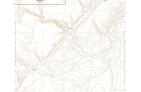
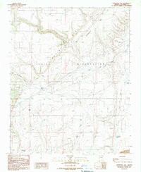
- Description
- ADDITIONAL HILL, AZ HISTORICAL MAP GEOPDF 7.5X7.5 GRID 24000-SCALE 1989
- Survey Date
- 1989
- Print Date
- 1990
- Height In Inches
- 26.900
- Length In Inches
- 22.000
- Boundary Type
- Quadrangle
- Two Sided
- No
- Pieces
- 1
- Languages
- English
Related Items

ADDITIONAL HILL, AZ HISTORICAL MAP GEOPDF 7.5X7.5 GRID 24000-SCALE 1989