
- Added OPAL CREEK, WY to cart. View cart.
- Added BLOOM PEAK, MT-ID TNM GEOSPATIAL PDF 7.5 to cart. View cart.
- Added LITTLE LOST RIVER SINKS, ID to cart. View cart.
- Added HOWARDS GROVE, WI to cart. View cart.
- Added GRANITE POINT, WA to cart. View cart.
- Added YELLOW DOG PEAK, CA to cart. View cart.
- Added COLUMBUS, GA-AL HISTORICAL MAP GEOPDF 15 to cart. View cart.
- Added STEPOVAK BAY D-3, AK to cart. View cart.
- Added JAMESTOWN, MO HISTORICAL MAP GEOPDF 7.5X to cart. View cart.
- Added MOUNT FAIRWEATHER D-7, AK to cart. View cart.
- Added TULLIS, WY to cart. View cart.
- Added GEOLOGIC MAP BARCUS CREEK QUADRANGLE, CO to cart. View cart.
- Added GOOSE CREEK, CA to cart. View cart.
- Added NEPESTA, CO HISTORICAL MAP GEOPDF 30X30 to cart. View cart.
- Added MORRISON, CO to cart. View cart.
- Added CRESCENT PEAK, NV-CA to cart. View cart.
- Added HOPPS WELL, NV-CA HISTORICAL MAP GEOPDF to cart. View cart.

Product Details
- Product Number
- 82459
- Scale
- 1:24,000
- Alternate ID
- TNV0583
- ISBN
- 978-0-607-39463-4
- Version Date
- 01/01/1980
- Regions
- CA, NV
- Countries
- USA
- Media
- Paper
- Format
- Flat
- Digital Reproduction
- Yes
Additional Details
- Description
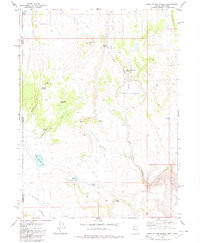
- HOLE IN THE GROUND, NV-CA HISTORICAL MAP GEOPDF 7.5X7.5 GRID 24000-SCALE 1980
- Survey Date
- 1980
- Print Date
- 1980
- Height In Inches
- 26.700
- Length In Inches
- 22.000
- Boundary Type
- Quadrangle
- Two Sided
- No
- Pieces
- 1
- Languages
- English
Related Items
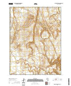
HOLE IN THE GROUND, NV-CA TNM GEOSPATIAL PDF 7.5X7.5 GRID 24000-SCALE 2016

HOPPS WELL, NV-CA HISTORICAL MAP GEOPDF 7.5X7.5 GRID 24000-SCALE 1984

HAYS CANYON, NV-CA HISTORICAL MAP GEOPDF 7.5X7.5 GRID 24000-SCALE 1979