
- Added LAKE MARY, FL to cart. View cart.
- Added SKAGWAY B-4 NE, AK to cart. View cart.
- Added DE ROCHE, AR to cart. View cart.
- Added TANNER, AL to cart. View cart.
- Added SARDIS DAM, MS to cart. View cart.
- Added SHEEP CANYON CREEK EAST, WY to cart. View cart.
- Added DODDRIDGE NE, AR to cart. View cart.
- Added FAIRBANKS D-1 NW, AK to cart. View cart.
- Added SAWYERVILLE, AL to cart. View cart.
- Added SKAGWAY C-1 NE, AK to cart. View cart.
- Added FORESTER, AL HISTORICAL MAP GEOPDF 7.5X7 to cart. View cart.

Product Details
- Product Number
- 38236
- Scale
- 1:24,000
- Alternate ID
- TAL0322
- ISBN
- 978-0-607-04691-5
- Version Date
- 01/01/1981
- Regions
- AL
- Countries
- USA
- Media
- Paper
- Format
- Flat
- Digital Reproduction
- Yes
Additional Details
- Description
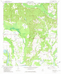
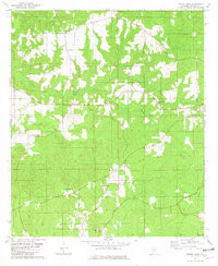
- FORESTER, AL HISTORICAL MAP GEOPDF 7.5X7.5 GRID 24000-SCALE 1981
- Survey Date
- 1981
- Print Date
- 1982
- Height In Inches
- 26.800
- Length In Inches
- 22.000
- Boundary Type
- Quadrangle
- Two Sided
- No
- Pieces
- 1
- Languages
- English
Related Items

FORESTER, AL HISTORICAL MAP GEOPDF 7.5X7.5 GRID 24000-SCALE 1981
FOREST HOME, AL HISTORICAL MAP GEOPDF 7.5X7.5 GRID 24000-SCALE 1981
