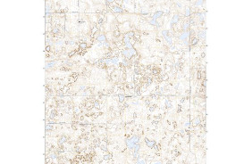
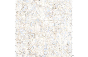
- Added RICE LAKE, ND to cart. View cart.
- Added BAT CAVE, TX HISTORICAL MAP GEOPDF 7.5X7 to cart. View cart.
- Added ROMULUS, AL to cart. View cart.
- Added CAVE CREEK, AZ to cart. View cart.
- Added WINCHESTER, WI to cart. View cart.
- Added DAVY CROCKETT LAKE, TN-NC to cart. View cart.
- Added WINCHESTER, WI HISTORICAL MAP GEOPDF 15X to cart. View cart.
- Added NORTH CHARLESTON, SC to cart. View cart.
- Added BOB CREEK, TX HISTORICAL MAP GEOPDF 7.5X to cart. View cart.
- Added HAHN CREEK PASS, MT HISTORICAL MAP GEOPD to cart. View cart.
- Added WINCHESTER, AR to cart. View cart.
- Added NEW CASTLE NORTH, PA to cart. View cart.
- Added BORGER, TX HISTORICAL MAP GEOPDF 7.5X7.5 to cart. View cart.
- Added MIDDLEBURG, VA HISTORICAL MAP GEOPDF 7.5 to cart. View cart.
- Added RICE LAKE NW, ND to cart. View cart.

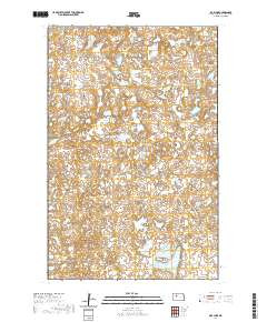
Product Details
- Product Number
- 780323
- Scale
- 1:24,000
- Version Date
- 01/01/2017
- Regions
- ND
- Countries
- USA
- Media
- Paper
- Format
- Flat
- Digital Reproduction
- Yes
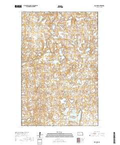
Additional Details
- Description
- RICE LAKE, ND TNM GEOSPATIAL PDF 7.5X7.5 GRID 24000
- Survey Date
- 2017
- Print Date
- 2017
- Height In Inches
- 29.000
- Length In Inches
- 24.000
- Boundary Type
- Quadrangle
- Pieces
- 1
Related Items