- Added NEEDLES, CA-AZ HISTORICAL MAP GEOPDF 15X to cart. View cart.
- Added BULL SHOALS, AR-MO HISTORICAL MAP GEOPDF to cart. View cart.
- Added INTERCESSION CITY, FL to cart. View cart.
- Added WADE CANYON, NM to cart. View cart.
- Added MIDWAY, AR-MO HISTORICAL MAP GEOPDF 7.5X to cart. View cart.
- Added ALLENDALE, SC to cart. View cart.
- Added STRANGE CREEK, WV to cart. View cart.
- Added CLAYVILLE, VA to cart. View cart.
- Added JOHNS ISLAND, SC to cart. View cart.
- Added KINGFISHER, OK to cart. View cart.
- Added EDDICETON, MS to cart. View cart.
- Added LIBERTY, ME HISTORICAL MAP GEOPDF 15X15 to cart. View cart.
- Added WILD BILL FLAT WEST, MT to cart. View cart.

Product Details
- Product Number
- 816592
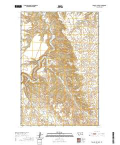
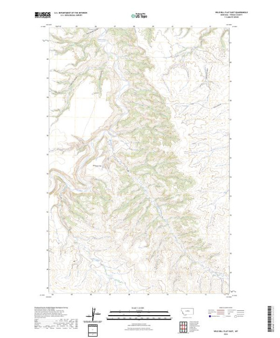
- Scale
- 1:24,000
- Version Date
- 01/01/2024
- Regions
- MT
- Countries
- USA
- Media
- Paper
- Format
- Flat
- Digital Reproduction
- Yes
Additional Details
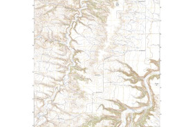
- Description
- WILD BILL FLAT EAST, MT TNM GEOSPATIAL PDF 7.5X7.5 GRID 24000
- Survey Date
- 2024
- Print Date
- 2024
- Height In Inches
- 29.000
- Length In Inches
- 24.000
- Boundary Type
- Quadrangle
- Pieces
- 1
Related Items