- Added GEOLOGIC MAP THE CHALLIS QUADRANGLE, ID to cart. View cart.
- Added OWYHEE CANYON WIDERNESS STUDY, OR to cart. View cart.
- Added FORDS CREEK, MS-LA HISTORICAL MAP GEOPDF to cart. View cart.
- Added MOUNT ABRAHAM, ME HISTORICAL MAP GEOPDF to cart. View cart.
- Added ANTIMONY TEJOCOTES REGION OAXACA, MEXICO to cart. View cart.
- Added SUNSET, LA HISTORICAL MAP GEOPDF 7.5X7.5 to cart. View cart.
- Added TUNK MOUNTAIN, ME to cart. View cart.
- Added LULING, LA HISTORICAL MAP GEOPDF 7.5X7.5 to cart. View cart.
- Added REFERENCE SAMPLES GEOLOGY GEOCHEMISTRY to cart. View cart.
- Added GEOLOGY MANGANESE LUCIFER DISTRI, MEXICO to cart. View cart.
- Added PONCHATOULA, LA to cart. View cart.
- Added KENSINGTON, MD to cart. View cart.
- Added DICKSHOOTER RESERVOIR, ID to cart. View cart.

Product Details
- Product Number
- 809015
- Scale
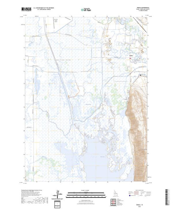
- 1:24,000
- Version Date
- 01/01/2023
- Regions
- ID
- Countries
- USA
- Media
- Paper
- Format
- Flat
- Digital Reproduction
- Yes
Additional Details
- Description
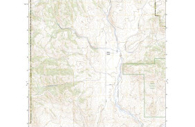
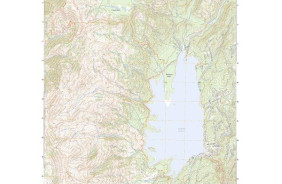
- DINGLE, ID TNM GEOSPATIAL PDF 7.5X7.5 GRID 24000
- Survey Date
- 2023
- Print Date
- 2024
- Height In Inches
- 29.000
- Length In Inches
- 24.000
- Boundary Type
- Quadrangle
- Pieces
- 1
Related Items