- Added SHOSHONE, ID to cart. View cart.
- Added SABLE HILL, ID to cart. View cart.
- Added ELK RIVER, ID HISTORICAL MAP GEOPDF 7.5X to cart. View cart.
- Added YELLOWJACKET, ID to cart. View cart.
- Added BASIN BUTTE, ID to cart. View cart.
- Added SAINT JOE BALDY, ID to cart. View cart.
- Added HORSE CREEK BUTTE, ID to cart. View cart.
- Added NORTON RIDGE, ID to cart. View cart.
- Added HOWE NE, ID to cart. View cart.
- Added WEST BEND NE, IA HISTORICAL MAP GEOPDF 7 to cart. View cart.
- Added KELLOGG WEST, ID to cart. View cart.
- Added BALDY KNOLL, ID to cart. View cart.
- Added WOLF CREEK, ID-OR to cart. View cart.
- Added CHALLIS CREEK LAKES, ID to cart. View cart.

Product Details
- Product Number
- 751620
- Scale
- 1:24,000
- Version Date
- 01/01/2017
- Regions
- ID
- Countries
- USA
- Media
- Paper
- Format
- Flat
- Digital Reproduction
- Yes
Additional Details
- Description
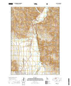
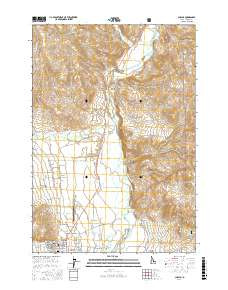
- CHALLIS, ID TNM GEOPDF 7.5X7.5 GRID 24000
- Survey Date
- 2017
- Print Date
- 2017
- Height In Inches
- 29.000
- Length In Inches
- 24.000
- Boundary Type
- Quadrangle
- Pieces
- 1
Related Items