- Added ZAPATA RANCH, CO HISTORICAL MAP GEOPDF 7 to cart. View cart.
- Added LEGAREVILLE, SC to cart. View cart.
- Added LAUREL FORK, VA to cart. View cart.
- Added CLAYTON, MO HISTORICAL MAP GEOPDF 7.5X7. to cart. View cart.
- Added BLACHLY, OR HISTORICAL MAP GEOPDF 15X15 to cart. View cart.
- Added LAKE CREEK, TX to cart. View cart.
- Added HAWK SPRINGS, WY to cart. View cart.
- Added ROSWELL SOUTH, NM to cart. View cart.
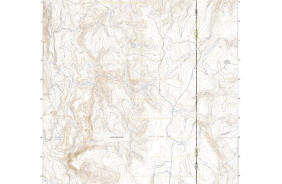
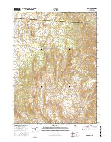
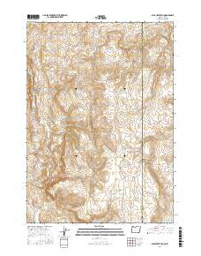
- Added POLE CREEK, UT-ID to cart. View cart.
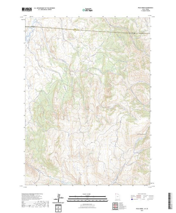

Product Details
- Product Number
- 827055
- Scale
- 1:24,000
- Version Date
- 01/01/2023
- Media
- Paper
- Format
- Flat
- Digital Reproduction
- Yes
Additional Details
- Description
- POLE CREEK, UT-ID TNM GEOSPATIAL PDF 7.5X7.5 GRID 24000
- Survey Date
- 2023
- Print Date
- 2023
- Height In Inches
- 29.000
- Length In Inches
- 24.000
- Boundary Type
- Quadrangle
- Pieces
- 1
Related Items