- Added POND PEAK, ID HISTORICAL MAP GEOPDF 7.5X to cart. View cart.
- Added POLARIS PEAK, ID HISTORICAL MAP GEOPDF 7 to cart. View cart.
- Added PLAINS, MT to cart. View cart.
- Added ARCHER, NE to cart. View cart.
- Added PHILLIPS BUTTE, MT to cart. View cart.
- Added PORTER, NM HISTORICAL MAP GEOPDF 7.5X7.5 to cart. View cart.
- Added PUEBLO BONITO, NM to cart. View cart.
- Added WALKER, AR to cart. View cart.
- Added LEAVENWORTH, MO-KS HISTORICAL MAP GEOPDF to cart. View cart.
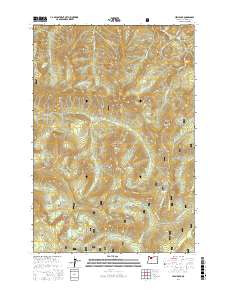
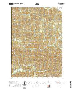
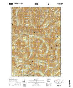
- Added HIGH ROCK, OR to cart. View cart.

Product Details
- Product Number
- 469663
- Scale
- 1:24,000
- Version Date
- 01/01/2020
- Regions
- OR
- Countries
- USA
- Media
- Paper
- Format
- Flat
Additional Details
- Description
- HIGH ROCK, OR TNM GEOSPATIAL PDF 7.5X7.5 GRID 24000-SCALE 2016
- Survey Date
- 2020
- Height In Inches
- 29.000
- Length In Inches
- 24.000
- Boundary Type
- Quadrangle
- Pieces
- 1
Related Items