- Added JASPER, AL HISTORICAL MAP GEOPDF 7.5X7.5 to cart. View cart.
- Added MILLPORT NW, AL-MS HISTORICAL MAP GEOPDF to cart. View cart.
- Added ALREAD, AR to cart. View cart.
- Added CLANTON EAST, AL to cart. View cart.
- Added GARELOI ISLAND A-4 SE, AK to cart. View cart.
- Added FAITH, AR to cart. View cart.
- Added SUMMERVILLE, SC to cart. View cart.
- Added THREE FORKS SE, MT to cart. View cart.
- Added BETHESDA, OH to cart. View cart.


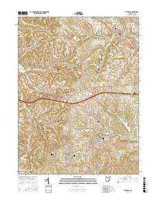
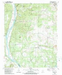
Product Details
- Product Number
- 39403
- Scale
- 1:24,000
- Alternate ID
- TAR0073
- ISBN
- 978-0-607-05361-6
- Version Date
- 01/01/1989
- Regions
- AR
- Countries
- USA
- Media
- Paper
- Format
- Flat
- Digital Reproduction
- Yes
Additional Details
- Description
- BETHESDA, AR HISTORICAL MAP GEOPDF 7.5X7.5 GRID 24000-SCALE 1989
- Survey Date
- 1989
- Print Date
- 1989
- Height In Inches
- 26.600
- Length In Inches
- 21.900
- Boundary Type
- Quadrangle
- Two Sided
- No
- Pieces
- 1
- Languages
- English
Related Items
BETHESDA, AR HISTORICAL MAP GEOPDF 7.5X7.5 GRID 24000-SCALE 1989
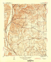
BETHESDA, AR HISTORICAL MAP GEOPDF 7.5X7.5 GRID 31680-SCALE 1942