- Added GRANITE FALLS, NC to cart. View cart.
- Added ABBEVILLE WEST, SC to cart. View cart.
- Added AFOGNAK B-0 SE, AK to cart. View cart.
- Added JUNIPER BASIN, ID to cart. View cart.
- Added SHAMOKIN, PA HISTORICAL MAP GEOPDF 15X15 to cart. View cart.
- Added CANBY, IA to cart. View cart.
- Added REHOBOTH BEACH, DE to cart. View cart.
- Added BENTON, IA HISTORICAL MAP GEOPDF 7.5X7.5 to cart. View cart.
- Added CHINCOTEAGUE EAST, VA to cart. View cart.
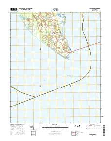
- Added POINT HARBOR, NC to cart. View cart.


Product Details
- Product Number
- 281294
- Scale
- 1:24,000
- Version Date
- 01/01/1983
- Regions
- NC
- Countries
- USA
- Media
- Paper
- Format
- Flat
Additional Details
- Description
- POINT HARBOR, NC HISTORICAL MAP GEOPDF 7.5X7.5 GRID 24000-SCALE 1982
- Survey Date
- 1977
- Print Date
- 1983
- Height In Inches
- 26.600
- Length In Inches
- 21.700
- Boundary Type
- Quadrangle
- Pieces
- 1
Related Items


POINT HARBOR, NC HISTORICAL MAP GEOPDF 7.5X7.5 GRID 24000-SCALE 1982