- Added JACKS SPRING, NV to cart. View cart.
- Added SHREWSBURY, MA to cart. View cart.
- Added BRYAN MOUNTAINS, AZ HISTORICAL MAP GEOPD to cart. View cart.
- Added BEULAH, MI to cart. View cart.
- Added MOLOKAI EAST, HI HISTORICAL MAP GEOPDF 7 to cart. View cart.
- Added BARBER BUTTE, MT to cart. View cart.
- Added FORT DODGE SOUTH, IA HISTORICAL MAP GEOP to cart. View cart.
- Added BISON MOUNTAIN, MT to cart. View cart.
- Added GRASSY CREEK, NC-VA to cart. View cart.

Product Details
- Product Number
- 782926
- Scale
- 1:24,000
- Version Date
- 01/01/2017
- Media
- Paper
- Format
- Flat
- Digital Reproduction
- Yes
Additional Details
- Description
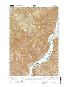
- CONNOR CREEK, OR-ID TNM GEOPDF 7.5X7.5 GRID 24000
- Survey Date
- 2017
- Print Date
- 2017
- Height In Inches
- 29.000
- Length In Inches
- 24.000
- Boundary Type
- Quadrangle
- Pieces
- 1
Related Items