- Added GROSS, FL-GA HISTORICAL MAP GEOPDF 7.5X7 to cart. View cart.
- Added ROCKINSTRAW MOUNTAIN, AZ HISTORICAL MAP to cart. View cart.
- Added MOAB, UT-CO to cart. View cart.
- Added WELLSVILLE, OH-WV to cart. View cart.
- Added HONUA'ULA VALLEY, HI to cart. View cart.
- Added EFFINGHAM, IL HISTORICAL MAP GEOPDF 30X6 to cart. View cart.
- Added SILVER SPRINGS, AZ to cart. View cart.
- Added PILGRIM WASH, AZ to cart. View cart.
- Added GREENCASTLE, PA HISTORICAL MAP GEOPDF 7. to cart. View cart.
- Added ALDER GULCH, MT to cart. View cart.
- Added STINKING SPRINGS, AZ to cart. View cart.
- Added MOUNT TRUMBULL NE, AZ to cart. View cart.
- Added SOMERSET, PA HISTORICAL MAP GEOPDF 7.5X7 to cart. View cart.
- Added HARVEY, IA to cart. View cart.
- Added PRIEST VALLEY, CA to cart. View cart.
- Added KELLER BUTTE, WA to cart. View cart.
- Added PARKER, PA to cart. View cart.
- Added OXFORD SOUTH, MS to cart. View cart.
- Added HARFORD, NY HISTORICAL MAP GEOPDF 7.5X7. to cart. View cart.
- Added BONDAD HILL, CO-NM to cart. View cart.
- Added COLUMBUS, PA-NY to cart. View cart.
- Added STONEMAN LAKE, AZ to cart. View cart.
- Added MEEKER, CO to cart. View cart.
- Added KINGSTON, NM to cart. View cart.

Product Details
- Product Number
- 81560
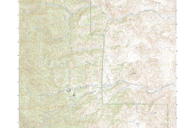
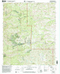
- Scale
- 1:24,000
- Alternate ID
- TNM2223
- ISBN
- 978-0-607-99866-5
- Version Date
- 01/01/1999
- Regions
- NM
- Countries
- USA
- Media
- Paper
- Format
- Flat
- Digital Reproduction
- Yes
Additional Details
- Description
- PROVISIONAL TF
- Survey Date
- 1999
- Print Date
- 2002
- Height In Inches
- 27.000
- Length In Inches
- 21.750
- Boundary Type
- Quadrangle
- Two Sided
- No
- Pieces
- 1
- Languages
- English
Related Items