- Added WISCONSIN DILLS, WI HISTORICAL MAP GEOPD to cart. View cart.
- Added BISMARCK MESA, AZ to cart. View cart.
- Added HORN, AZ HISTORICAL MAP GEOPDF 7.5X7.5 G to cart. View cart.
- Added GROVER, NC-SC to cart. View cart.
- Added DEAD INDIAN PEAK, WY to cart. View cart.
- Added WINGATE, NC HISTORICAL MAP GEOPDF 7.5X7. to cart. View cart.
- Added PLAINFIELD, IL to cart. View cart.
- Added AKELA, NM HISTORICAL MAP GEOPDF 7.5X7.5 to cart. View cart.
- Added SHENANDOAH WEST, IA to cart. View cart.
- Added STEWART MOUNTAIN, AZ to cart. View cart.
- Added STOCKTON PASS, AZ HISTORICAL MAP GEOPDF to cart. View cart.
- Added SCOTTYS JUNCTION SW, NV to cart. View cart.
- Added OWYHEE, NV-ID HISTORICAL MAP GEOPDF 7.5X to cart. View cart.
- Added OZONE, TN to cart. View cart.
- Added MILNER, ID to cart. View cart.
- Added RADFORD NORTH, VA to cart. View cart.
- Added ARANSAS PASS, TX to cart. View cart.
- Added VENICE, LA to cart. View cart.
- Added TECOPA, CA to cart. View cart.
- Added JONESBORO, GA to cart. View cart.
- Added CANE SPRINGS, AZ to cart. View cart.
- Added OLGA, ND to cart. View cart.
- Added MCCLEARY RESERVOIR, WY to cart. View cart.
- Added LAKE STEPHENSON, TX to cart. View cart.
- Added EAGLE VALLEY RESERVOIR, NV to cart. View cart.
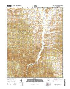
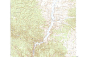
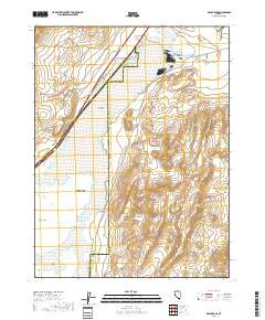
EAGLE VALLEY RESERVOIR, NV
$15.00
Available

Product Details
- Product Number
- 509220
- Scale
- 1:24,000
- Version Date
- 01/01/2018
- Regions
- NV
- Countries
- USA
- Media
- Paper
- Format
- Flat
Additional Details
- Description
- EAGLE VALLEY RESERVOIR, NV TNM GEOSPATIAL PDF 7.5X7.5 GRID 24000-SCALE 2015
- Survey Date
- 2018
- Height In Inches
- 29.000
- Length In Inches
- 24.000
- Boundary Type
- Quadrangle
- Pieces
- 1
Related Items