- Added MEEKER, CO to cart. View cart.
- Added HONOLULU, HI HISTORICAL MAP GEOPDF 7.5X7 to cart. View cart.
- Added LAURA, IL to cart. View cart.
- Added STOCKTON PASS, AZ to cart. View cart.
- Added NINETYSIX HILLS SE, AZ to cart. View cart.
- Added AUBURN, GA to cart. View cart.
- Added PORT ACRES, TX to cart. View cart.
- Added JOHN DAY, OR to cart. View cart.
- Added STUART SE, VA-NC to cart. View cart.
- Added COPPER BUTTE, WA to cart. View cart.
- Added ESSEX, CA to cart. View cart.
- Added LITTLE ROCK, AR to cart. View cart.
- Added FLEMING, CO to cart. View cart.
- Added BUCK PEAK, AZ to cart. View cart.
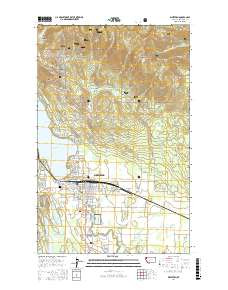
- Added WHITEFISH, MT to cart. View cart.

Product Details
- Product Number
- 883072
- Scale
- 1:100,000
- Version Date
- 01/01/1981
- Regions
- MT
- Countries
- USA
- Media
- Paper
- Format
- Flat
- Digital Reproduction
- Yes
Additional Details
- Description
- WHITEFISH RANGE, MT HISTORICAL MAP GEOPDF 30X60 GRID 100000-SCALE 1981
- Survey Date
- 1981
- Print Date
- 1982
- Boundary Type
- Quadrangle
- Pieces
- 1
Related Items