

Product Details
- Product Number
- 486521
- Scale
- 1:24,000
- Version Date
- 01/01/2014
- Regions
- ME
- Countries
- USA
- Media
- Paper
- Format
- Flat
Additional Details
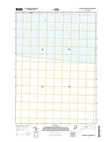
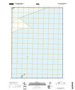
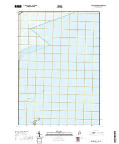
- Description
- USGS US Topo 7.5 - minute map for MACHIAS SEAL ISLAND SOUTH, ME
- Survey Date
- 2014
- Height In Inches
- 29.000
- Length In Inches
- 24.000
- Boundary Type
- Quadrangle
- Pieces
- 1
Related Items
MACHIAS SEAL ISLAND SOUTH, ME HISTORICAL MAP GEOPDF 7.5X7.5 GRID 24000-SCALE 1993