- Added CANDOR, NC to cart. View cart.
- Added HOLLY POND, AL to cart. View cart.
- Added SULPHUR CREEK RESERVOIR, WY to cart. View cart.
- Added FAIRFIELD BAY, AR to cart. View cart.
- Added BRICKEYS, AR-MS HISTORICAL MAP GEOPDF 7. to cart. View cart.
- Added DODDRIDGE NE, AR to cart. View cart.
- Added SCRANTON, KY to cart. View cart.


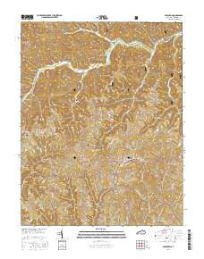
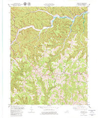
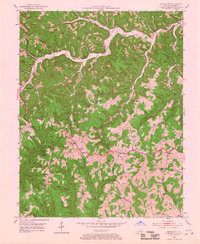
Product Details
- Product Number
- 261753
- Scale
- 1:24,000
- Version Date
- 01/01/1952
- Regions
- KY
- Countries
- USA
- Media
- Paper
- Format
- Flat
Additional Details
- Description
- SCRANTON, KY HISTORICAL MAP GEOPDF 7.5X7.5 GRID 24000-SCALE 1952
- Survey Date
- 1952
- Print Date
- 1967
- Height In Inches
- 27.000
- Length In Inches
- 22.100
- Boundary Type
- Quadrangle
- Pieces
- 1
Related Items
SCRANTON, KY HISTORICAL MAP GEOPDF 7.5X7.5 GRID 24000-SCALE 1952