Added LEXINGTON EAST, KY to cart. View cart.

Product Details
- Product Number
- 497779
- Scale
- 1:24,000
- Version Date
- 01/01/2019
- Regions
- KY
- Countries
- USA
- Media
- Paper
- Format
- Flat
Additional Details
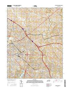
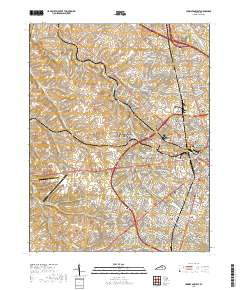
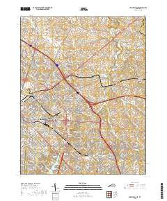
- Description
- LEXINGTON EAST, KY TNM GEOSPATIAL PDF 7.5X7.5 GRID 24000-SCALE 2016
- Survey Date
- 2019
- Height In Inches
- 29.000
- Length In Inches
- 24.000
- Boundary Type
- Quadrangle
- Pieces
- 1
Related Items