
Product Details
- Product Number
- 861646
- Scale
- 1:100,000
- Version Date
- 01/01/1985
- Regions
- IA
- Countries
- USA
- Media
- Paper
- Format
- Flat
- Digital Reproduction
- Yes
Additional Details
- Description
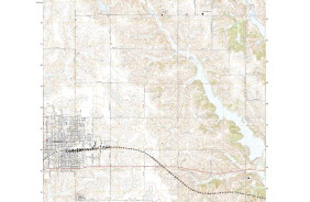
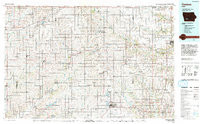
- CRESTON, IA HISTORICAL MAP GEOPDF 30X60 GRID 100000-SCALE 1985
- Survey Date
- 1985
- Print Date
- 1985
- Boundary Type
- Quadrangle
- Pieces
- 1
Related Items
CRESTON, IA HISTORICAL MAP GEOPDF 30X60 GRID 100000-SCALE 1993
CARROLL, IA HISTORICAL MAP GEOPDF 30X60 GRID 100000-SCALE 1985