Added WESTFIELD, IN to cart. View cart.

Product Details
- Product Number
- 58181
- Scale
- 1:24,000
- Alternate ID
- TIN0622
- ISBN
- 978-0-607-00617-9
- Version Date
- 01/01/1992
- Regions
- IN
- Countries
- USA
- Media
- Paper
- Format
- Flat
- Digital Reproduction
- Yes
Additional Details
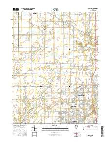
- Description
- WESTFIELD, IN
- Survey Date
- 1992
- Print Date
- 1995
- Height In Inches
- 27.000
- Length In Inches
- 21.750
- Boundary Type
- Quadrangle
- Two Sided
- No
- Pieces
- 1
- Languages
- English
Related Items