- Added HEDGPETH HILLS, AZ to cart. View cart.
- Added ATHENS, OH to cart. View cart.
- Added ROCKINSTRAW MOUNTAIN, AZ to cart. View cart.
- Added DEVILS LAKE MOUNTAIN, ND to cart. View cart.
- Added HABERSTOCK HILL, AZ HISTORICAL MAP GEOPD to cart. View cart.
- Added ROBINSON MESA, AZ to cart. View cart.
- Added MOSES LAKE SOUTH, WA to cart. View cart.
- Added ONALASKA, WA to cart. View cart.
- Added CITRATE-SOLUBLE HEAVY METAL, NH to cart. View cart.
- Added HORN, AZ HISTORICAL MAP GEOPDF 7.5X7.5 G to cart. View cart.
- Added SULPHUR SPRING, AZ to cart. View cart.
- Added LYMAN, UT HISTORICAL MAP GEOPDF 7.5X7.5 to cart. View cart.
- Added ANTELOPE PEAK, AZ HISTORICAL MAP GEOPDF to cart. View cart.
- Added LYNN, MA to cart. View cart.
- Added WILD COW LAKE, AZ HISTORICAL MAP GEOPDF to cart. View cart.
- Added BONNERS FERRY, ID to cart. View cart.

Product Details
- Product Number
- 751526
- Scale
- 1:24,000
- Version Date
- 01/01/2017
- Regions
- ID
- Countries
- USA
- Media
- Paper
- Format
- Flat
- Digital Reproduction
- Yes
Additional Details
- Description
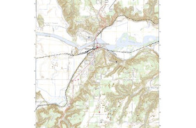
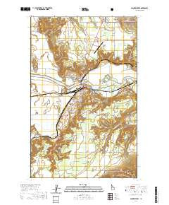
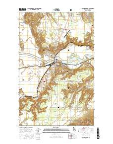
- BONNERS FERRY, ID TNM GEOPDF 7.5X7.5 GRID 24000
- Survey Date
- 2017
- Print Date
- 2017
- Height In Inches
- 29.000
- Length In Inches
- 24.000
- Boundary Type
- Quadrangle
- Pieces
- 1
Related Items