
- Added PASADENA, CA HISTORICAL MAP GEOPDF 7.5X7 to cart. View cart.
- Added TECOLOTE PEAK, NM HISTORICAL MAP GEOPDF to cart. View cart.
- Added POCONO PINES, PA to cart. View cart.
- Added BIG BEND NATIONAL PARK, TX to cart. View cart.
- Added PINTO, UT to cart. View cart.
- Added EDGEWOOD, NM to cart. View cart.
- Added DEALE, MD to cart. View cart.
- Added MOUTH OF WILSON, VA-NC HISTORICAL MAP GE to cart. View cart.


Product Details
- Product Number
- 282834
- Scale
- 1:24,000
- Version Date
- 01/01/1966
- Regions
- VA, NC
- Countries
- USA
- Media
- Paper
- Format
- Flat
Additional Details
- Description
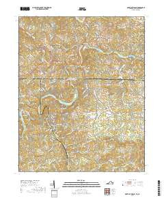
- MOUTH OF WILSON, VA-NC HISTORICAL MAP GEOPDF 7.5X7.5 GRID 24000-SCALE 1966
- Survey Date
- 1966
- Print Date
- 1968
- Height In Inches
- 26.800
- Length In Inches
- 21.800
- Boundary Type
- Quadrangle
- Pieces
- 1
Related Items
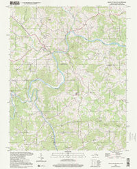
MOUTH OF WILSON, VA-NC HISTORICAL MAP GEOPDF 7.5X7.5 GRID 24000-SCALE 2000