
- Added TINCUP HILL, ID-MT to cart. View cart.
- Added BENTON, AL to cart. View cart.
- Added FULFORD, CO to cart. View cart.
- Added ARROWHEAD BUTTE, AZ HISTORICAL MAP GEOPD to cart. View cart.
- Added BAY MINETTE NORTH, AL to cart. View cart.
- Added MANNING, AR to cart. View cart.
- Added KULANI, HI HISTORICAL MAP GEOPDF 7.5X7.5 to cart. View cart.
- Added AMBLER RIVER A-1, AK to cart. View cart.
- Added YAKUTAT C-4 SW, AK to cart. View cart.
- Added BEECHER CITY, IL to cart. View cart.
- Added PARRISH, AL to cart. View cart.
- Added TANACROSS D-4, AK to cart. View cart.
- Added LAKE CATHERINE, AR to cart. View cart.
- Added AVONDALE SW, AZ to cart. View cart.
- Added OXFORD, AL to cart. View cart.
- Added SHORTER, AL to cart. View cart.
- Added PALMETTO, AL to cart. View cart.
- Added PLEASANT GROVE, AL to cart. View cart.
- Added BELLWOOD, AL to cart. View cart.
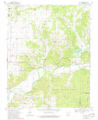
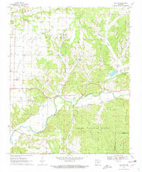
- Added GALLATIN, AR to cart. View cart.


Product Details
- Product Number
- 288127
- Scale
- 1:24,000
- Version Date
- 01/01/1970
- Regions
- AR
- Countries
- USA
- Media
- Paper
- Format
- Flat
Additional Details
- Description
- GALLATIN, AR HISTORICAL MAP GEOPDF 7.5X7.5 GRID 24000-SCALE 1970
- Survey Date
- 1970
- Print Date
- 1972
- Height In Inches
- 26.800
- Length In Inches
- 22.000
- Boundary Type
- Quadrangle
- Pieces
- 1
Related Items
GALLATIN, AR HISTORICAL MAP GEOPDF 7.5X7.5 GRID 24000-SCALE 1970
