- Added SOUDAN, AR to cart. View cart.
- Added GILBERT PEAK, UT-WY HISTORICAL MAP GEOPD to cart. View cart.
- Added JOB PEAK, NV to cart. View cart.
- Added NEW WASHINGTON, IN to cart. View cart.
- Added ALPINE BUTTE, CA to cart. View cart.
- Added VETERAN, WY to cart. View cart.
- Added LISBON, IL to cart. View cart.
- Added TEAPOT MOUNTAIN, AZ HISTORICAL MAP GEOPD to cart. View cart.
- Added NUTMEG FLAT, ID to cart. View cart.
- Added HATCH, NM to cart. View cart.
- Added OROVILLE, WA HISTORICAL MAP GEOPDF 7.5X7 to cart. View cart.
- Added NORTH OF RYEGRASS FLAT, ID to cart. View cart.
- Added BLUE JAY PEAK, AZ to cart. View cart.
- Added DEVILS LAKE, OR to cart. View cart.
- Added HAWLEY LAKE WEST, AZ to cart. View cart.

Product Details
- Product Number
- 41078
- Scale
- 1:24,000
- Alternate ID
- TAZ0633
- ISBN
- 978-0-607-06670-8
- Version Date
- 01/01/1976
- Regions
- AZ
- Countries
- USA
- Media
- Paper
- Format
- Flat
- Digital Reproduction
- Yes
Additional Details
- Description
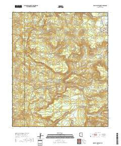
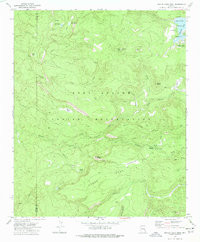
- HAWLEY LAKE WEST, AZ HISTORICAL MAP GEOPDF 7.5X7.5 GRID 24000-SCALE 1976
- Survey Date
- 1976
- Print Date
- 1977
- Height In Inches
- 26.700
- Length In Inches
- 22.000
- Boundary Type
- Quadrangle
- Two Sided
- No
- Pieces
- 1
- Languages
- English
Related Items

HAWLEY LAKE WEST, AZ HISTORICAL MAP GEOPDF 7.5X7.5 GRID 24000-SCALE 1976