- Added ROME, GA-AL HISTORICAL MAP GEOPDF 30X30 to cart. View cart.
- Added DANVILLE, IL-IN HISTORICAL MAP GEOPDF 30 to cart. View cart.
- Added LITTLETON, NH-VT to cart. View cart.
- Added PHILIPSBURG, PA to cart. View cart.
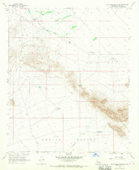
- Added CANE SPRINGS MOUNTAIN, AZ to cart. View cart.
- Added MITTEN BUTTES, AZ-UT to cart. View cart.
- Added DRYDEN, NY to cart. View cart.
- Added WHITE PLAINS, VA to cart. View cart.
- Added INOLA, OK to cart. View cart.
- Added DEVILS HEART PEAK, CA to cart. View cart.
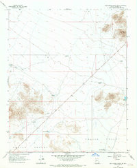
- Added DATE CREEK RANCH, AZ to cart. View cart.

Product Details
- Product Number
- 40832
- Scale
- 1:24,000
- Alternate ID
- TAZ0385
- ISBN
- 978-0-607-06490-2
- Version Date
- 01/01/1967
- Regions
- AZ
- Countries
- USA
- Media
- Paper
- Format
- Flat
- Digital Reproduction
- Yes
Additional Details
- Description
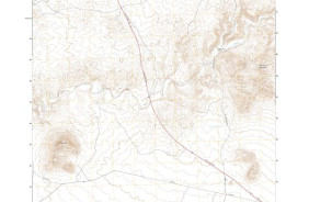
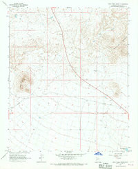
- DATE CREEK RANCH, AZ HISTORICAL MAP GEOPDF 7.5X7.5 GRID 24000-SCALE 1967
- Survey Date
- 1967
- Print Date
- 1970
- Height In Inches
- 27.000
- Length In Inches
- 22.000
- Boundary Type
- Quadrangle
- Two Sided
- No
- Pieces
- 1
- Languages
- English
Related Items