
- Added JERUSALEM MOUNTAIN, AZ to cart. View cart.
- Added EOLIA, MO to cart. View cart.
- Added IDAHO, ID to cart. View cart.
- Added BEAR CREEK, WI to cart. View cart.
- Added RIGBY - TETON DAM FLOOD, ID to cart. View cart.
- Added HOVSGOL, MONGOLIA to cart. View cart.
- Added DODGE, WI to cart. View cart.
- Added BLOOMFIELD NORTH, IA to cart. View cart.
- Added TANACROSS A-3, AK to cart. View cart.
- Added CONEY ISLAND, NY-NJ HISTORICAL MAP GEOPD to cart. View cart.
- Added EAGLE PEAK, CA to cart. View cart.
- Added CRAIG A-2 SE, AK to cart. View cart.
- Added WINFIELD, CO to cart. View cart.
- Added JUNEAU B-3 NW, AK to cart. View cart.
- Added INDIANAPOLIS, IN-IL HISTORICAL MAP GEOPD to cart. View cart.
- Added SUMMIT RESERVOIR, ID to cart. View cart.
- Added WHIGHAM, GA to cart. View cart.
- Added CONTROLLED MOSAIC SINUS SABAEUS SW MARS to cart. View cart.
- Added TYLERTOWN SE, MS-LA HISTORICAL MAP GEOPD to cart. View cart.


Product Details
- Product Number
- 62131
- Scale
- 1:24,000
- Alternate ID
- TLA0684
- ISBN
- 978-0-607-01185-2
- Version Date
- 01/01/1994
- Regions
- LA, MS
- Countries
- USA
- Media
- Paper
- Format
- Flat
- Digital Reproduction
- Yes
Additional Details
- Description
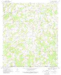
- TRANSYLVANIA, LA-MS HISTORICAL MAP GEOPDF 7.5X7.5 GRID 24000-SCALE 1994
- Survey Date
- 1994
- Print Date
- 1995
- Height In Inches
- 26.900
- Length In Inches
- 22.000
- Boundary Type
- Quadrangle
- Two Sided
- No
- Pieces
- 1
- Languages
- English
Related Items

TYLERTOWN SE, MS-LA HISTORICAL MAP GEOPDF 7.5X7.5 GRID 24000-SCALE 1970
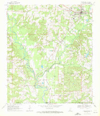
TYLERTOWN, MS-LA HISTORICAL MAP GEOPDF 7.5X7.5 GRID 24000-SCALE 1970