
- Added HIGH DIVIDE, CA-OR to cart. View cart.
- Added WINONA, WV HISTORICAL MAP GEOPDF 7.5X7.5 to cart. View cart.
- Added NIXA, MO HISTORICAL MAP GEOPDF 7.5X7.5 G to cart. View cart.
- Added FORT YATES SE, ND to cart. View cart.
- Added LAKE SOLITUDE, WY to cart. View cart.
- Added PINE PARK, UT-NV to cart. View cart.
- Added DON LUIS, AZ HISTORICAL MAP GEOPDF 30X30 to cart. View cart.
- Added INDIAN SPRINGS KNOLLS, NV to cart. View cart.
- Added HARVARD, IL-WI to cart. View cart.
- Added MAYFIELD HILLS, TX to cart. View cart.
- Added PYRAMID HILLS, CA to cart. View cart.
- Added PANTHER CANYON, NM-TX to cart. View cart.
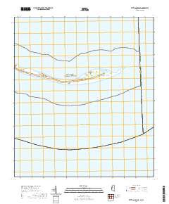
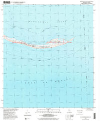
- Added PETIT BOIS ISLAND, MS-AL HISTORICAL MAP to cart. View cart.


Product Details
- Product Number
- 327086
- Scale
- 1:24,000
- Version Date
- 01/01/1958
- Regions
- AL, MS
- Countries
- USA
- Media
- Paper
- Format
- Flat
Additional Details
- Description
- PETIT BOIS ISLAND, MS-AL HISTORICAL MAP GEOPDF 7.5X7.5 GRID 24000-SCALE 1958
- Survey Date
- 1958
- Print Date
- 1959
- Height In Inches
- 26.900
- Length In Inches
- 22.800
- Boundary Type
- Quadrangle
- Pieces
- 1
Related Items
PETIT BOIS ISLAND, MS-AL HISTORICAL MAP GEOPDF 7.5X7.5 GRID 24000-SCALE 1982
PETIT BOIS ISLAND, MS-AL HISTORICAL MAP GEOPDF 7.5X7.5 GRID 24000-SCALE 2000