Added BIRCH TREE, MO to cart. View cart.


Product Details
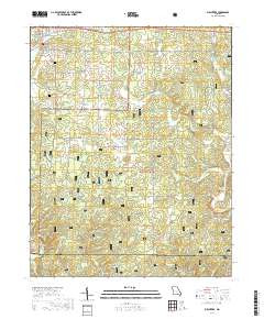
- Product Number
- 68538
- Scale
- 1:24,000
- Alternate ID
- TMO0095
- ISBN
- 978-0-607-93296-6
- Version Date
- 01/01/1997
- Regions
- MO
- Countries
- USA
- Media
- Paper
- Format
- Flat
- Digital Reproduction
- Yes
Additional Details
- Description
- STOCK REDUCED TO 5 YR./ 5300 DESTROYED
- Survey Date
- 1997
- Print Date
- 1999
- Height In Inches
- 26.800
- Length In Inches
- 22.000
- Boundary Type
- Quadrangle
- Two Sided
- No
- Pieces
- 1
- Languages
- English
Related Items