
Added ROCKVILLE, MD to cart. View cart.


Product Details
- Product Number
- 63134
- Series
- V733X55612
- Scale
- 1:50,000
- Alternate ID
- V733X55612
- Version Date
- 01/01/1994
- Regions
- MD, VA
- Countries
- USA
- Media
- Paper
- Format
- Folded
Additional Details
- Description
- EDITION 4
- Survey Date
- 1994
- Print Date
- 1995
- Height In Inches
- 29.000
- Length In Inches
- 22.000
- Boundary Type
- Quadrangle
- Two Sided
- No
- Pieces
- 1
- Languages
- English
Related Items

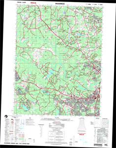
SHEET 5460 I SERIES V734 EDITION 4-NGA WILDERNESS, VIRGINIA NSN 7643014043551 ED NO 004 NIMA REF NO V734X54601