- Added SUNSET MOUNTAIN, ID to cart. View cart.
- Added MONTPELIER, ID-WY-UT HISTORICAL MAP GEOP to cart. View cart.
- Added ADRIAN, SC to cart. View cart.
- Added CATALDO, ID-MT HISTORICAL MAP GEOPDF 30X to cart. View cart.
- Added PADEN, MS to cart. View cart.
- Added UNION, MO to cart. View cart.
- Added GREENSBORO, NC to cart. View cart.
- Added STATESVILLE EAST, NC to cart. View cart.
- Added BEREA, KY to cart. View cart.


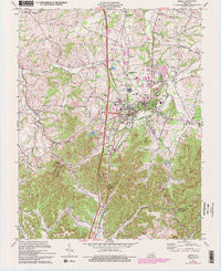
Product Details
- Product Number
- 261866
- Scale
- 1:24,000
- Version Date
- 01/01/1970
- Regions
- KY
- Countries
- USA
- Media
- Paper
- Format
- Flat
Additional Details
- Description
- BEREA, KY HISTORICAL MAP GEOPDF 7.5X7.5 GRID 24000-SCALE 1970
- Survey Date
- 1970
- Print Date
- 1972
- Height In Inches
- 27.400
- Length In Inches
- 22.600
- Boundary Type
- Quadrangle
- Pieces
- 1
Related Items