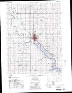
Added CLAY CENTER, KS to cart. View cart.

Product Details
- Product Number
- 39125
- Series
- V744X36512
- Scale
- 1:50,000
- Alternate ID
- TAL1237
- Version Date
- 01/01/1988
- Regions
- AL
- Countries
- USA
- Media
- Paper
- Format
- Flat
Additional Details
- Description
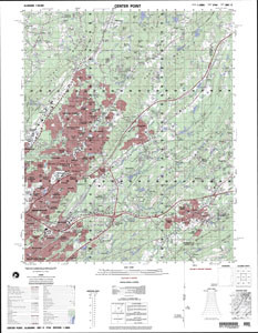
- CENTER POINT, AL
- Survey Date
- 1988
- Print Date
- 1988
- Boundary Type
- Quadrangle
- Two Sided
- No
- Pieces
- 1
- Languages
- English
Related Items