
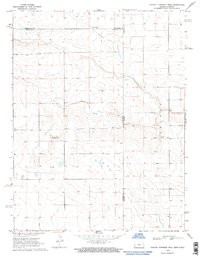

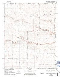
Product Details
- Product Number
- 60011
- Scale
- 1:24,000
- Alternate ID
- TKS1718
- ISBN
- 978-0-607-86590-5
- Version Date
- 01/01/1969
- Regions
- CO, KS
- Countries
- USA
- Media
- Paper
- Format
- Flat
- Digital Reproduction
- Yes
Additional Details
- Description
- SUPERSEDES: COLONY TOWNSHIP WEST TCO2367 (STATE CHANGE)
- Survey Date
- 1969
- Print Date
- 1997
- Height In Inches
- 27.000
- Length In Inches
- 21.750
- Boundary Type
- Quadrangle
- Two Sided
- No
- Pieces
- 1
- Languages
- English
Related Items
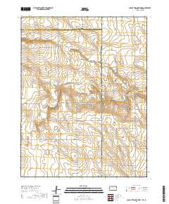
COLONY TOWNSHIP WEST, KS-CO TNM GEOSPATIAL PDF 7.5X7.5 GRID 24000-SCALE 2017
COLONY TOWNSHIP NW, CO-KS HISTORICAL MAP GEOPDF 7.5X7.5 GRID 24000-SCALE 1969
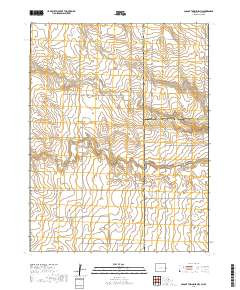
COLONY TOWNSHIP NW, CO-KS TNM GEOSPATIAL PDF 7.5X7.5 GRID 24000-SCALE 2017