- Added PALMYRA, WI to cart. View cart.
- Added HAWI, HI TNM GEOSPATIAL PDF 7.5X7.5 GRID to cart. View cart.
- Added WINCHENDON, MA-NH HISTORICAL MAP GEOPDF to cart. View cart.
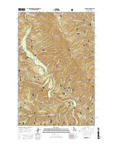
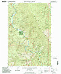
- Added POND PEAK, ID HISTORICAL MAP GEOPDF 7.5X to cart. View cart.
- Added FALL BRANCH, TN HISTORICAL MAP GEOPDF 15 to cart. View cart.
- Added SPRINGFIELD SOUTH, MA-CT to cart. View cart.
- Added POND PEAK, ID to cart. View cart.


Product Details
- Product Number
- 855927
- Scale
- 1:24,000
- Version Date
- 01/01/1996
- Regions
- ID
- Countries
- USA
- Media
- Paper
- Format
- Flat
- Digital Reproduction
- Yes
Additional Details
- Description
- POND PEAK, ID HISTORICAL MAP GEOPDF 7.5X7.5 GRID 24000-SCALE 1996
- Survey Date
- 1996
- Print Date
- 1999
- Boundary Type
- Quadrangle
- Pieces
- 1
Related Items
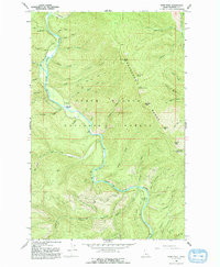
POND PEAK, ID HISTORICAL MAP GEOPDF 7.5X7.5 GRID 24000-SCALE 1966